KDI was a research partner on Why We Disagree About Resilience (WhyDAR), led by King's College London. The project investigated the diversity of perspectives on urban resilience and explored more inclusive, community-led ways of mapping and visualising resilience issues such as crime and flooding through qualitative mapping and creative practices.
Context
Mapping systems of risk and resilience in Kibera
In informal settlements like Kibera, natural hazards, insecure tenure, and limited access to services create cycles of risk.
Efforts to address this often fail to incorporate community perspectives. More inclusive planning and design approaches, with broader understandings of resilience that include community definitions, are needed to build resilience in informal settlements.
Process
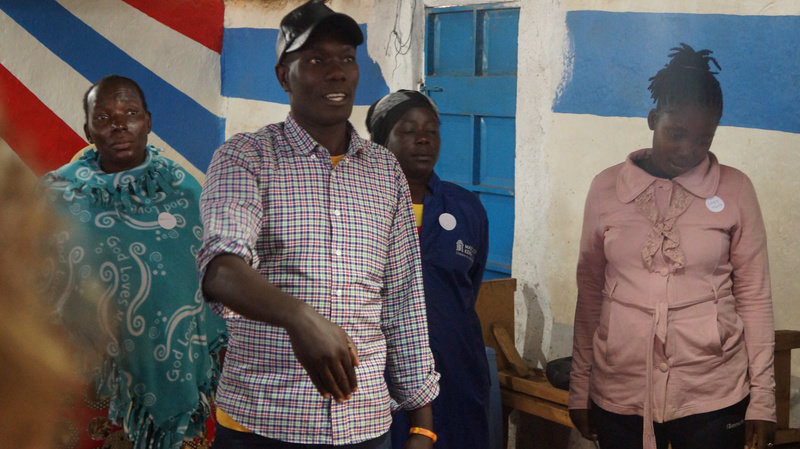
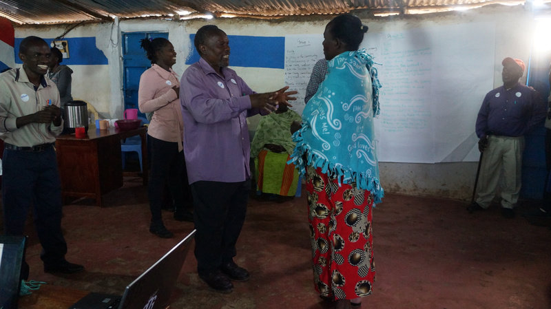
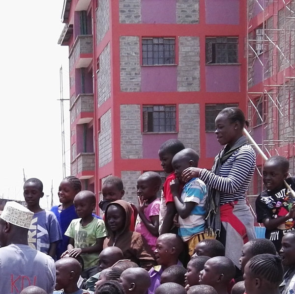
KDI Senior Community Coordinator Ibrahim Maina leads a community engagement
The project focused on informal settlements in Nairobi, Cape Town and Manilla.
In each city, we interviewed city officials on their use of mapping in resilience programming, facilitated workshops with residents of informal settlements, and developed and implemented a novel qualitative mapping methodology to understand and visualize resilience in the settlements.
Solution
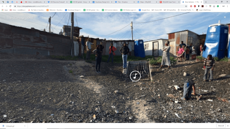
A "storysphere" set in an informal settlement in Cape Town
The results of the qualitative mapping were documented in an immersive GIS webtool.
It includes “storyspheres," 360-degree photographs combined with audio that communicate stories around different points in the settlement; social network maps showing how community members connect to each other and outside actors during a disaster; and multimedia pop-ups.
Impact
The project opened up new definitions of resilience
Nonprofits, community members and city partners indicated that the webtool was empowering, informative, and a useful advocacy tool.
WhyDAR demonstrated how qualitative mapping can help integrate existing community knowledge into resilience planning. KDI and the project partners are planning a follow-up project to further develop and operationalize the methodology.